
Elimination of deficiency of spatial data in schools of Nizhny Novgorod Region and
Nizhny Novgorod; implementation of new technologies of geography education in
schools of Nizhny Novgorod Region and Nizhny Novgorod.
Provision of educational and production institutions with up-to-date spatial
information on nature, population and economy of Nizhny Novgorod Region in the
form of geoinformation database
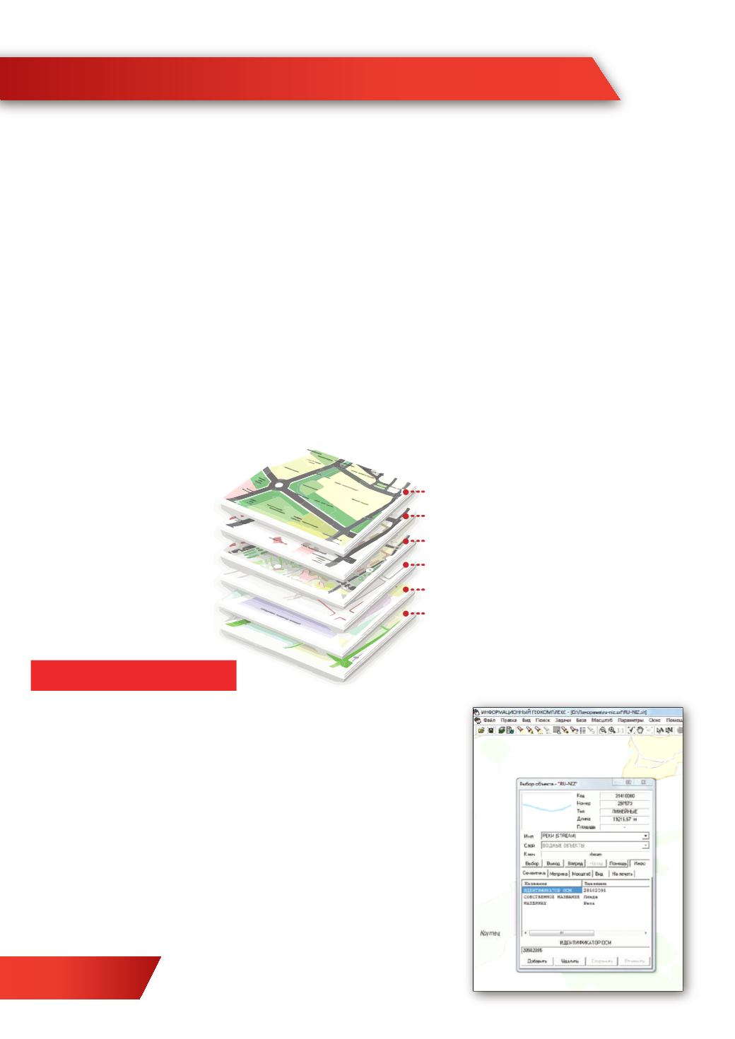
Geoinformation map 'Nature of Nizhny Novgorod Region' is created on the basis of
program 'GIS living geography', it includes 40 theme-based maps possessing
spatial data about nature, population and economy of the region.
Geo informational map of Nizhny Novgorod Region
DIGITAL EDUCATION
Layerwise data organization allows to combine theme-based layers:
inscriptions
botanical layer and soil
road network
hydrography
terrain
industrial,
agricultural, cultural objects and etc.
The map allows:
- to learn information about an object
- search for objects according to their name
- calculate square and parameters of objects
- to calculate distance before objects
- вычислять длины линий с учетом рельефа
- to calculate length of lines with regard
to terrain
-
to build 3D models of terrain according
to height m
atrices
- to build flooding fields and etc.
14


